
From the blog
Learn how to utilize Leaflet-Geoman Pro and MapLibre-Geoman Pro to elevate your geodata management.
MapLibre-Geoman + Mapbox-Geoman 0.9.0-alpha.0: Sub-Polygon Editing
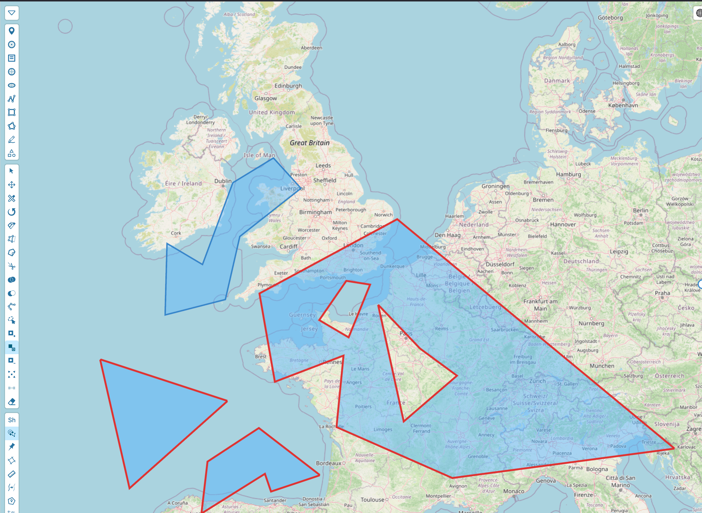
The 0.9.0 alpha for MapLibre-Geoman and Mapbox-Geoman introduces sub-polygon editing — add holes, manage multipolygon parts, explode, and merge — both interactively and through a new programmatic edit API.

Niclas Priess
Head of Sales
MapLibre-Geoman + Mapbox-Geoman Free/Pro v0.7.0
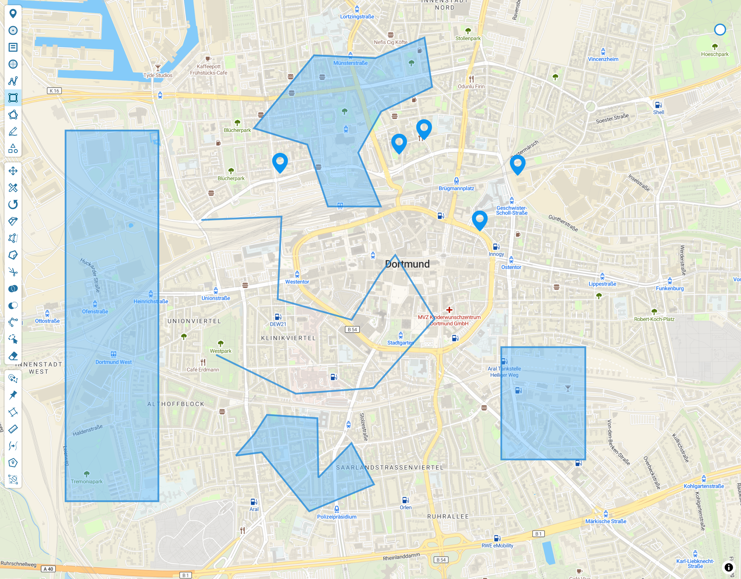
MapLibre-Geoman v0.7.0 and the new Mapbox-Geoman Free and Pro packages make it easier to ship advanced geo-editing across Leaflet, MapLibre, and Mapbox stacks.
Niclas Priess
Head of Sales
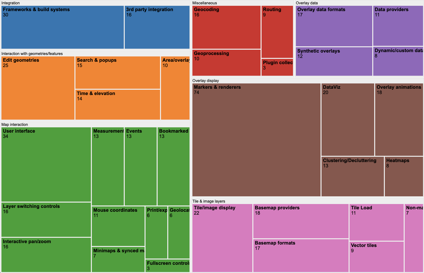
The State of the MapLibre Ecosystem: A 2025 Plugin Analysis
A data-driven analysis of the MapLibre plugin ecosystem in 2025. We review growth trends, top-rated libraries like deck.gl and Geoman, and new developer tools.
Niclas Priess
Head of Sales
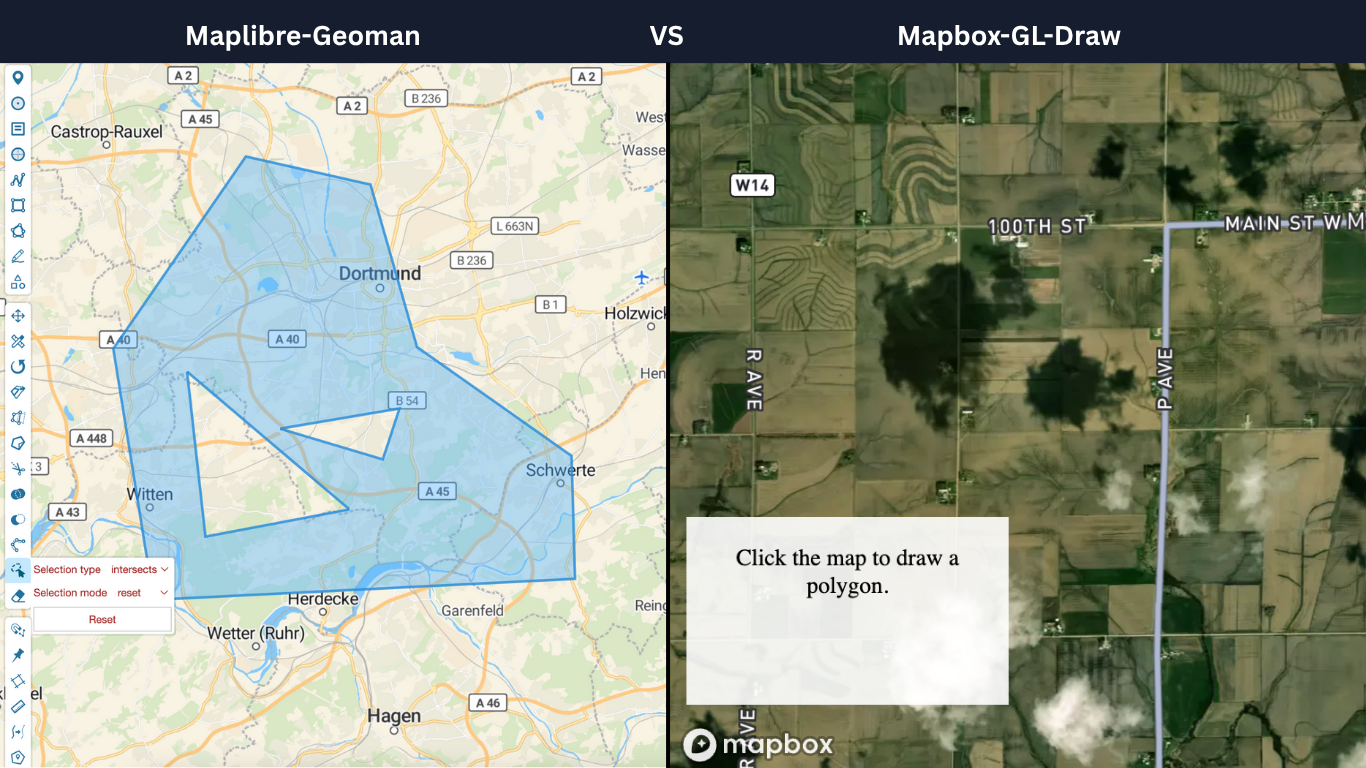
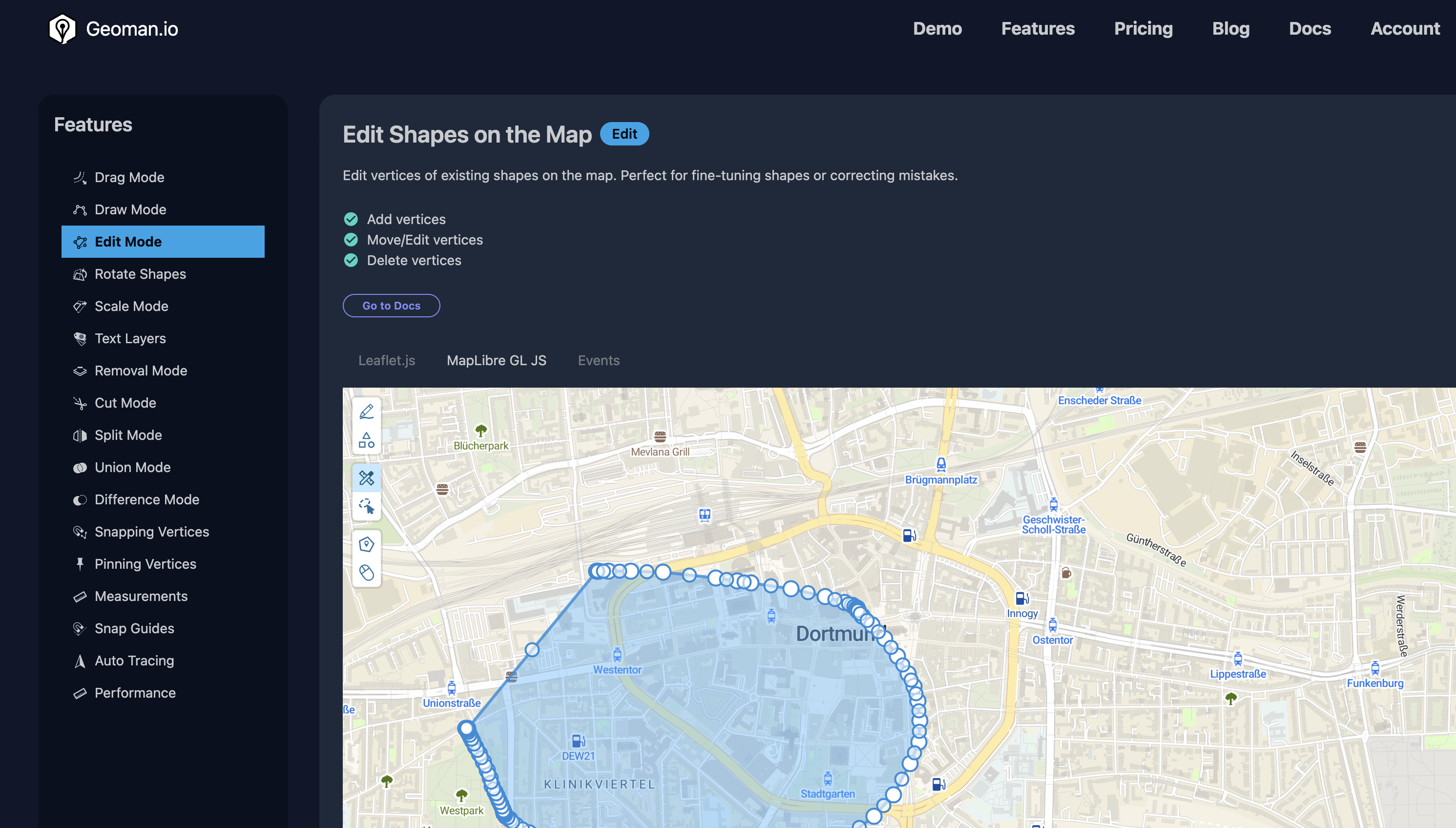
MapLibre-Geoman vs Mapbox-GL-Draw
MapLibre-Geoman brings Geoman's market leading geospatial capabilities to your MapLibre applications.
Niclas Priess
Head of Sales
How to create a web app using Vite, TypeScript, and MapLibre-Geoman
We just launched Geoman for MapLibre, learn how to build a web app that uses MapLibre-Geoman with Vite.
Niclas Priess
Head of Sales
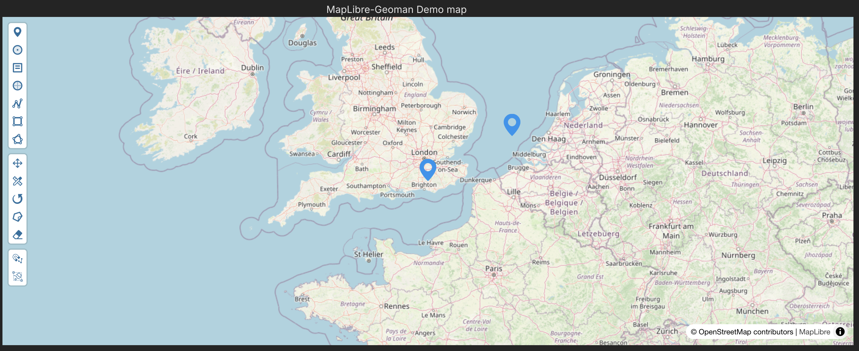
Introducing Geoman for MapLibre
We have just released MapLibre-Geoman and are excited to bring powerful geospatial tools to your MapLibre projects
Niclas Priess
Head of Sales
The state of the Leaflet Plugin ecosystem
Discover the latest insights into the Leaflet plugin ecosystem. Explore top Leaflet plugins by popularity and see how Leaflet-Geoman leads in geometry interaction.
Niclas Priess
Head of Sales
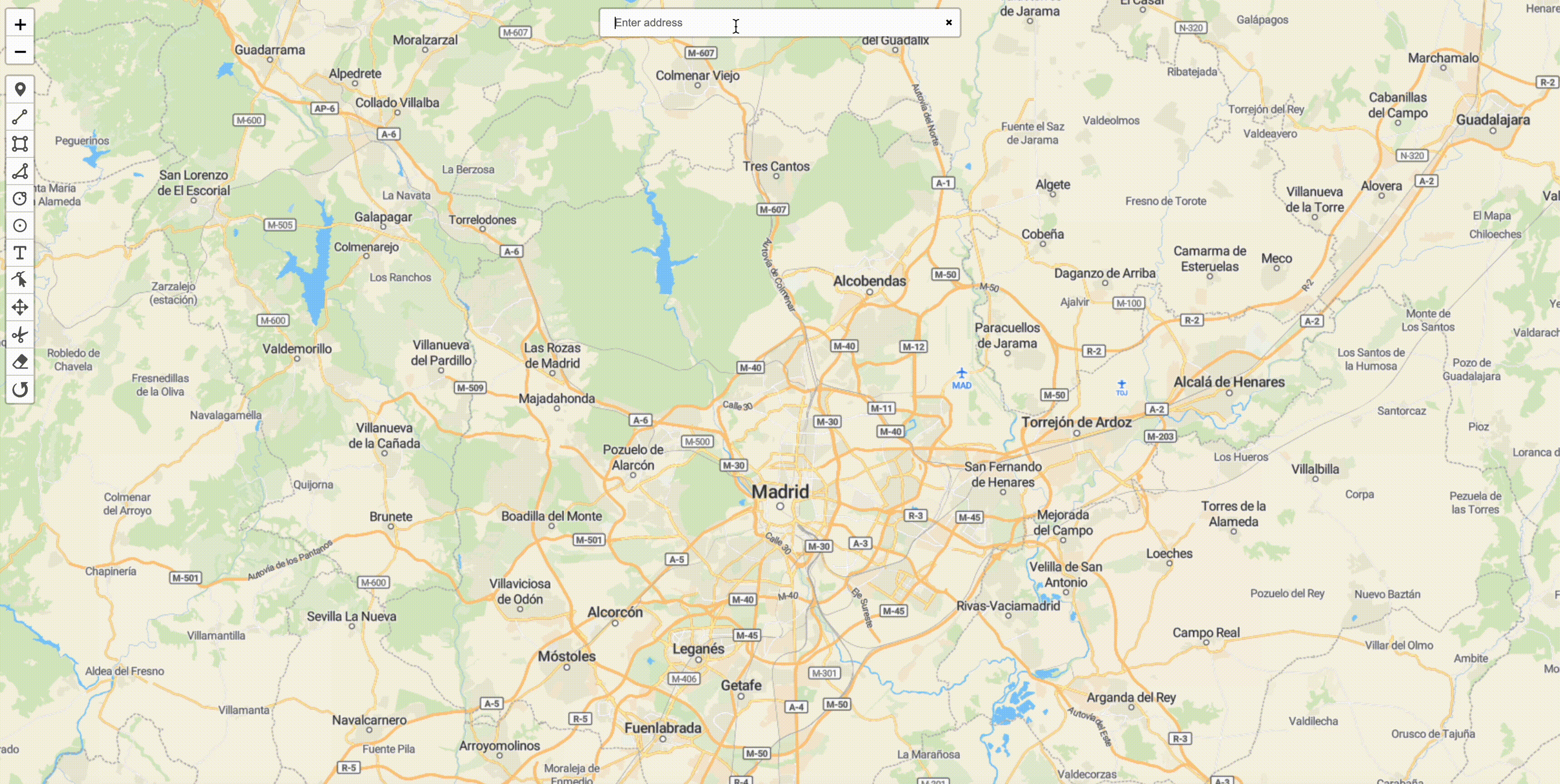
How to use geosearch in your Geoman project
Geosearch is helpful in spatial applications to quickly find the places you want to work with. This blog post guides you through how to get started.
Niclas Priess
Head of Sales
How to get started with Geoman and Next.js
Next.js is a popular framework for creating web apps. We created a short guide to get you up and running with Next.js and Geoman.
Niclas Priess
Head of Sales
Using create-react-app with TypeScript and Geoman
Learn how to get started with Geoman using a React app with TypeScript.
Niclas Priess
Head of Sales
How to create a React app using Vite, TypeScript, and Geoman
Vite is a fast, lightweight framework for building modern frontends. It is a great tool for building React app that uses Geoman. In this post, we show you how to get started.
Niclas Priess
Head of Sales
How to create interactive maps with Geoman and Folium
Folium makes it easy to build interactive maps from data manipulated in Python. Geoman makes it easy to work with geospatial data. In this blog post we show how to use these tools together.
Niclas Priess
Head of Sales
Aerospace and Defense: Mapping Flight Paths, Geo-Specific Visualization, or Terrain Analysis for Training and Operations
Dive into the world of aerospace and defense mapping with our latest blog post. Explore the intricacies of flight paths, the significance of geo-specific visualization, and the importance of terrain analysis. Discover how leaflet-geoman, supports state-of-the-art training, simulation and operations in the aerospace and defense industry. Stay ahead with insights, examples, and the latest in mapping technology.
Sumit Kumar
CEO
Leveraging Leaflet-Geoman for Secure & Compliant Drone Operations
Explore the essential role of Leaflet-Geoman in secure and compliant drone operations. From precise flight path planning and geofencing to real-time monitoring and risk assessment, this blog post highlights how Leaflet-Geoman enhances drone efficiency across various industries. Whether you're a drone professional or interested in cutting-edge technology for unmanned aircraft systems (UAS), discover how this powerful Leaflet plugin can transform your operations.
Sumit Kumar
CEO
Environmental Services: Visualizing Waste Management Routes, Water Flow Networks, or Environmental Regions in Need of Protection
The power of environmental data visualization. Dive into the intricacies of visualizing waste management routes, water flow networks, and critical environmental regions in need of protection. Perfect for Leaflet developers and enthusiasts, this guide combines the best of mapping techniques with the urgency of environmental conservation. Stay updated with the latest in climate change data visualization and understand how Leaflet can be a game-changer in the environmental services sector.

Christoph Dargel
CPO
Real Estate and Location-Based Services: Mapping Property Boundaries, Valuation Zones, and Visualizing Location Data
Explore the intricacies of real estate mapping. Dive deep into property boundaries, understand valuation zones, and visualize location data like never before. Whether you're using satellite maps that show property lines, property lines map Zillow, or even Google maps with property boundaries, our guide provides insights for leaflet developers and real estate enthusiasts alike. Stay ahead in the real estate game with accurate mapping and informed decision-making.
Christoph Dargel
CPO
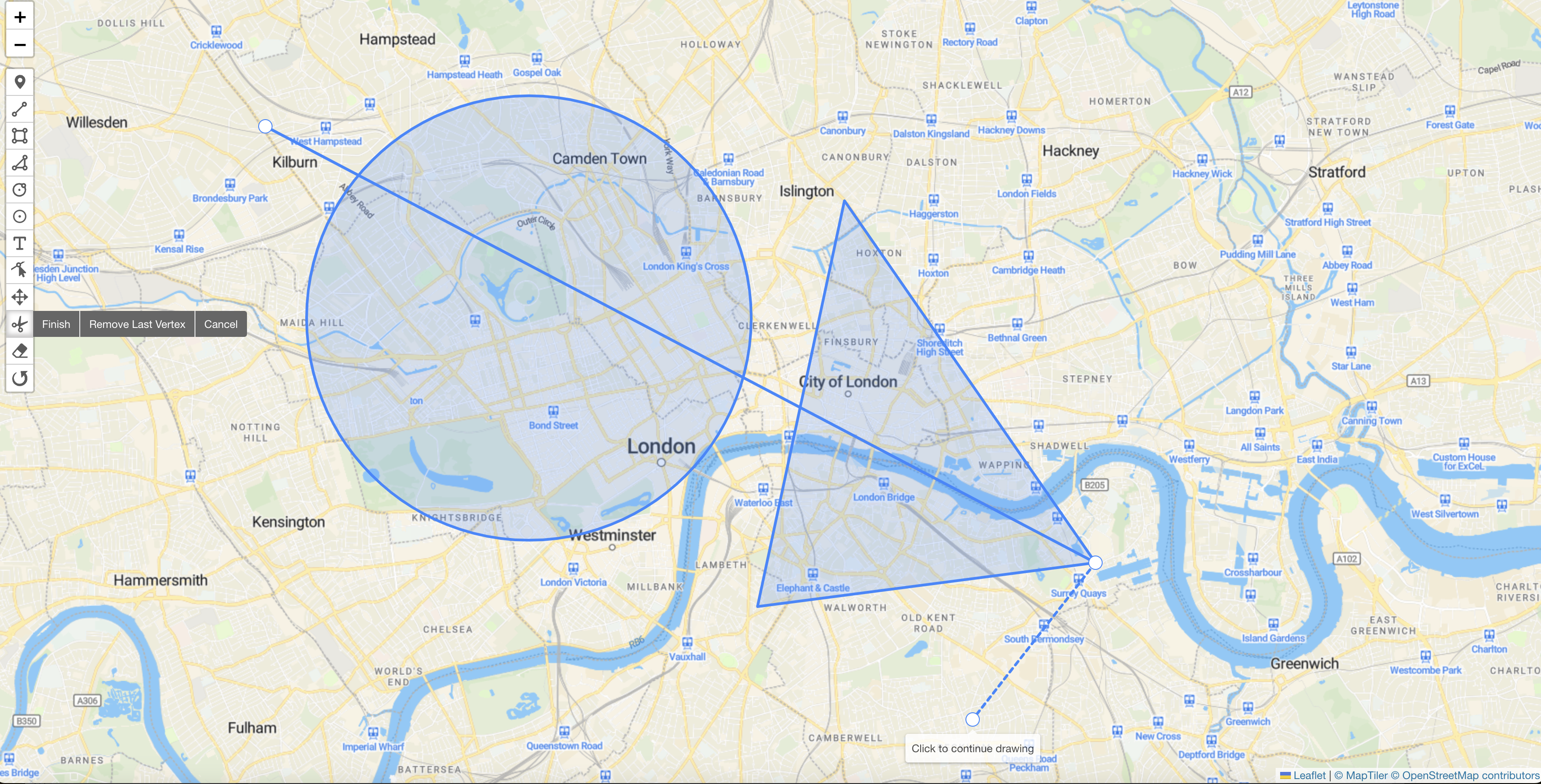
Harnessing Leaflet-Geoman for Advanced Visual Representation and Analysis
Explore the powerful capabilities of leaflet-geoman, a must-have plugin for advanced visual representation and analysis in Leaflet. This blog post dives into the unique features of leaflet-geoman, from drawing complex geometries to intricate data analysis. Learn how to create, edit, and style geometries, integrate with GeoJSON, and unlock insights through spatial analysis. Ideal for GIS professionals, mapping enthusiasts, and developers, this post offers a comprehensive look at leaflet-geoman's potential to elevate your mapping projects. Discover the world of advanced mapping and analysis with leaflet-geoman today.
Christoph Dargel
CPO
Elevate Your GIS Development with Leaflet-Geoman: A Comparative Review with Leaflet Draw
Discover why Leaflet-Geoman is the choice for modern GIS development in this comparison with Leaflet Draw. Learn about its active maintenance, extended functionality, customization abilities, and enhanced user experience. Ideal for developers and decision-makers from Engineering or Product in geospatial software development.
Christoph Dargel
CPO
Building Better with Leaflet-Geoman Pro: A Case Study in Large-Scale Construction
In large-scale construction projects, efficient site management is critical. This is an arena where drone imagery has proven invaluable, replacing traditional maps to provide real-time, detailed views of the construction site. However, integrating this imagery with geospatial data for effective site management can pose a challenge.
Sumit Kumar
CEO
Fueling the Future of Autonomous Trucking with Leaflet-Geoman Pro
The autonomous trucking industry faces a unique challenge: how to process and manage vast amounts of geo-data detailing road elements like lanes, intersections, and more. This data is integral to the decision-making algorithms that enable self-driving trucks to navigate safely and efficiently.
Christoph Dargel
CPO
Harvesting Success with Leaflet-Geoman Pro: A Case Study in Precision Agriculture
In the agriculture industry, precision is vital. From crop planning to field management, every decision is data-driven. And when it comes to geospatial data, the volume can be overwhelming—especially for software providers serving agriculture companies, including government agencies.
Sumit Kumar
CEO
Navigating Successful Harbor Management with Leaflet-Geoman Pro: A Case Study
For companies providing software to logistics entities, specifically those focusing on freight container ships, efficient harbor management is crucial. Designing harbors and managing waiting areas for cargo ships are key components that require precise geospatial data management.
Christoph Dargel
CPO
Exploring New Frontiers with Leaflet-Geoman Pro: A Space Agency's Journey to Mars
In the realm of space exploration, imagining and planning a Mars colony presents a unique set of challenges. Notably, how to effectively visualize and plan the settlement using the geospatial data available for the Martian surface.
Sumit Kumar
CEO
Driving Success with Leaflet-Geoman Pro: A Car-Sharing Company's Route to Efficiency
Operating a car-sharing company requires meticulous management of geospatial data. From customer-facing information like parking spots, business zones, and fuel stations to internal data like city division into small adjacent polygons, the challenge of managing these details efficiently is considerable.
Sumit Kumar
CEO
Navigating the Skies Safely with Leaflet-Geoman Pro: A Drone Manufacturer's Tale
In the ever-evolving drone industry, safety and compliance with global regulations are paramount. One of the most critical aspects of these regulations is the management of no-fly zones—areas where drones are prohibited from flying, such as near airports or military bases.
Sumit Kumar
CEO