MapLibre drawing and editing with Geoman
Geoman adds drawing and geometry editing to MapLibre GL JS. Let users create polygons, lines and markers, edit vertices, snap to nearby geometry and export their work as GeoJSON.
This documentation also covers Mapbox-Geoman, a separate adapter with the same Geoman API for Mapbox GL JS. Choose the package for the renderer your application uses.
Try the MapLibre demo · Install Geoman · Compare Free and Pro
Install the Free package
For MapLibre, install the drawing plugin and its renderer in your application:
npm install maplibre-gl@^6 @geoman-io/maplibre-geoman-free@^0.10
Follow Basic Usage and Installation to load the CSS, configure the MapLibre 6 worker and initialize map and geoman. The guide also covers the Mapbox adapter and Pro packages. Initialize the map after the container mounts when using an SSR framework.
Draw your first polygon, then edit it
Add these listeners immediately after creating your geoman instance in the installation example:
geoman.mapAdapter.once('gm:loaded', async () => {
  await geoman.enableDraw('polygon');
});

geoman.mapAdapter.on('gm:create', async () => {
  await geoman.disableDraw();
  await geoman.enableGlobalEditMode();
});

geoman.mapAdapter.on('gm:editend', () => {
  const geojson = geoman.features.exportGeoJson();
  console.log('Edited geometry:', geojson);
});
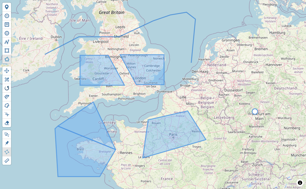
Click to add vertices and click the first vertex again to close the polygon. The example then enables editing: drag a vertex to change its shape. exportGeoJson() returns the current FeatureCollection; your application decides when and where to save it. The toolbar provides drawing and editing controls too.
Continue with your own data
- Import an existing GeoJSON collection: load saved features before editing and choose how to handle feature IDs.
- Export GeoJSON: retrieve the current geometry for your own API or file download.
- Drawing modes and editing modes: choose the interactions your editor exposes.
- Events: react to completed edits, newly drawn features and removals.
- Configuration: adapt the controls and behavior to your application.
- Migrate from Mapbox GL Draw: use a complete Vite example and an API mapping.
Free and Pro tools
Free includes drawing, vertex editing, dragging, rotation, cutting and snapping. Pro adds tools such as splitting, scaling, measurements, auto tracing and undo/redo. Features and options that require Pro are marked with a star (⭐) throughout these docs. The interactive demos include Pro capabilities.
The Free packages use the MIT license. Pro uses a commercial license; one MapLibre/Mapbox-Geoman Pro license covers both adapters. Leaflet-Geoman Pro is licensed separately. Review current plans and support options for the scope that fits your application.