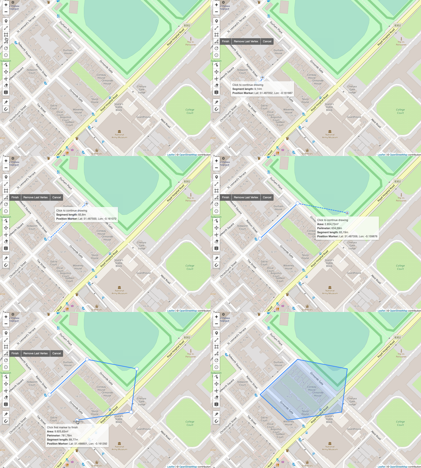
Measurement ⭐
Measurement ⭐

Calculates the measurement of a layer while drawing and editing. Exclusive for Leaflet-Geoman Pro ⭐
map.pm.setGlobalOptions({ measurements: { measurement: true, displayFormat: 'metric', ... } })
See the available options in the table below.
| Option | Default | Description |
|---|---|---|
| measurement | true | Enable measurement calculation. |
| showTooltip | true | Shows the tooltip during draw and edit. |
| showTooltipOnHover | true | Shows the tooltip when hovering a finished layer. |
| displayFormat | metric | Displayed format in the tooltip metric or imperial. |
| totalLength | true | Shows the total length in the tooltip Line. |
| segmentLength | true | Shows the segment length in the tooltip Line, Polygon. |
| area | true | Shows the area in the tooltip Polygon, Rectangle, Circle, CircleMarker. |
| radius | true | Shows the radius in the tooltip Circle, CircleMarker. |
| perimeter | true | Shows the perimeter in the tooltip Polygon, Rectangle, Circle, CircleMarker. |
| height | true | Shows the height in the tooltip Rectangle. |
| width | true | Shows the width in the tooltip Rectangle. |
| coordinates | true | Shows the coordinates in the tooltip Marker, CircleMarker and the current dragged marker while drawing / editing. |
The calculated measurements are available on layer.pm.measurements.
You can also calculate measurements of any layer with:
L.PM.Utils.getMeasurements(layer, map, displayFormat); // displayFormat: 'metric' | 'imperial'
Examples
Measurement enabled with metric display format:
Loading...
Measurement enabled with imperial display format:
Loading...