


Ship map editing in your product ; not in your backlog
Embed production-ready drawing and editing tools in your SaaS app with a single dependency.
Interactive Demo: Point-of-Interest Zone Editor
Explore real landmarks in central Berlin ; hospitals, schools, and cultural sites from OpenStreetMap. Draw service zones, edit boundaries, and export clean GeoJSON.
This interactive demo works best on desktop or tablet.
Click the polygon tool to draw a delivery zone around a landmark
Use Cases
Concrete workflows powered by Geoman
Embedded Map Editor
Drop a full-featured drawing toolbar into your React, Vue, or vanilla JS app. Your users get polygon, line, and marker tools out of the box.
Data Collection UIs
Let your end users define regions, routes, and points of interest with intuitive drawing tools and real-time measurements.
White-Label Geo Tools
Ship under your own brand with the Commercial license. Customize styling, control which tools are visible, and export clean GeoJSON.
Why Geoman vs. building in-house
Skip months of custom development
One npm install vs. months of custom development
Get a complete drawing and editing toolkit with a single dependency. Skip the months of building, testing, and maintaining geometry tools from scratch.
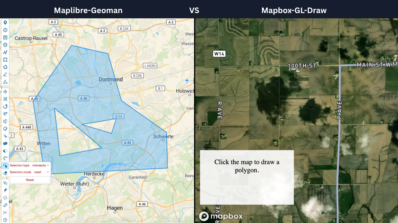
Works with Leaflet, MapLibre, and Mapbox
Switch base maps without rewriting your editing logic. Geoman supports Leaflet, MapLibre, and Mapbox via Mapbox-Geoman Pro v0.7.0.
Commercial license for customer-facing deployment
The Commercial license lets you embed Geoman in your own product and ship it to your customers ; no per-seat fees, no runtime royalties.
Plans start at €999/year
Most mapping product teams choose the Commercial license for SaaS deployments.
Ready to add map editing to your product?
Get started with the free open-source version, or talk to us about a commercial license for your team.