Documentation
For Leaflet-Geoman (Free & ⭐ Pro)
A Leaflet Plugin For Creating And Editing Geometry Layers Draw, Edit, Drag, Cut, Rotate, Split, Scale, Measure, Snap and Pin Layers.
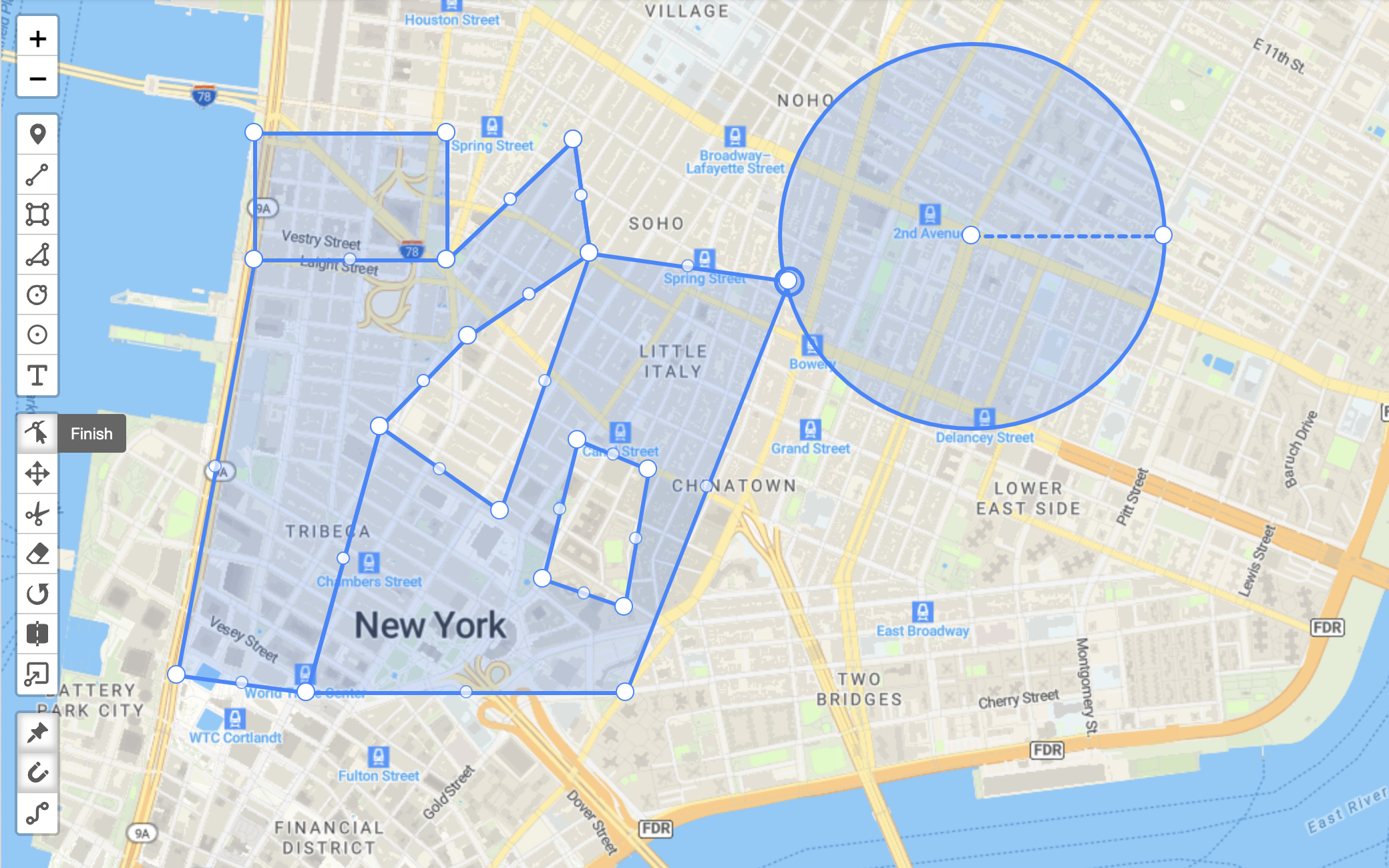
Supports Markers, CircleMarkers, Polylines, Polygons, Circles, Rectangles, ImageOverlays, LayerGroups, GeoJSON, MultiLineStrings and MultiPolygons
Features not available in the free version are marked with a star (⭐).
Get Started
Configuration and Setup
- Check out the different configuration options
- Explore the many different editing modes